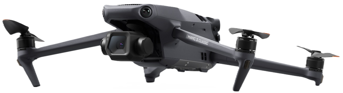
Drones as Investigation Tools
Drones to document accident scenes significantly faster and more accurately than traditional ground-based methods.
- Rapid Scene Clearance: Drones can survey a crash site in 15–20 minutes, a task that typically takes hours for ground investigators. This reduces traffic congestion and secondary crash risks.
- 3D Reconstruction: Using photogrammetry, drones capture overlapping images to create orthomosaics (true-to-scale maps) and 3D “digital twins” of the scene.
- Evidence Preservation: Aerial data provides a permanent, high-detail record of wreckage distribution and tire marks that can be analyzed by forensic engineers long
- Infrastructure Inspection: For commercial sites, drone surveys for small areas (<10 acres) cost between $200 and $800, compared to foot or vehicle surveys which can cost $6,000 to $8,000 per runway or site.